Discovering a Generous Parcel in Chalkidiki
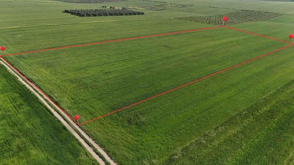
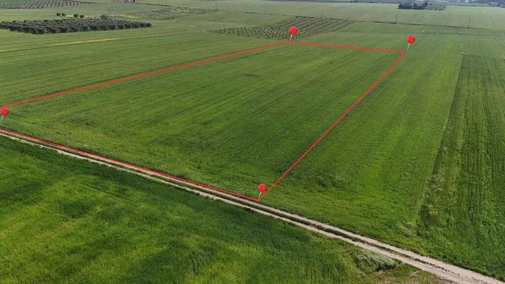
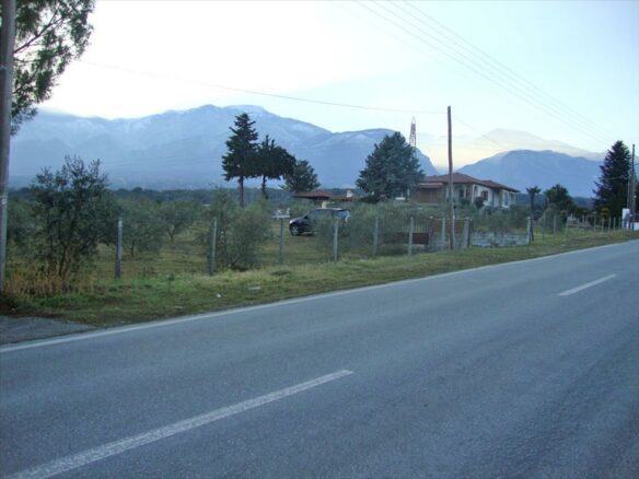
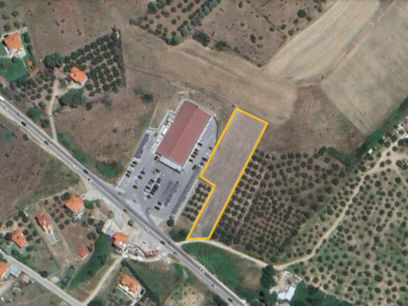
For those with a vision for development or a desire for extensive private land, a significant opportunity has arisen in the picturesque region of Chalkidiki. A substantial plot of land, spanning 14,600 square meters, is now available for acquisition. This expansive area offers a compelling proposition for a variety of potential uses, from agricultural endeavors to the establishment of a private retreat or even a development project, provided the necessary permissions are secured.
Location and Zoning Considerations
The property is situated outside the established city plan, a detail that holds specific implications for any prospective owner. This zoning classification suggests that the land is not currently designated for urban development within existing municipal frameworks. However, and crucially, the plot does qualify for construction permission. This means that while it’s not within the urban zoning, the framework exists to pursue building permits, opening doors for construction projects that align with regional planning regulations and the specific characteristics of the land.
Show Full Property Description
Understanding Construction Potential
The qualification for construction permission is a key aspect of this offering. It signifies that the land has been assessed, or at least meets the general criteria, to allow for building activities. This could encompass a range of structures, from residential homes to commercial facilities, depending on the type of permission sought and granted. Prospective buyers are encouraged to undertake thorough due diligence regarding the specific types of construction that are permissible and the process involved in obtaining the relevant permits from the local authorities. Understanding the limitations and possibilities associated with this qualification is essential for planning any future endeavors on the site.
The Importance of Verification
It is vital to acknowledge that the information provided regarding this property is derived directly from the property owner. Such details are relayed to the real estate company for dissemination. As is standard practice in real estate transactions, these details are presented with the understanding that they are subject to potential inaccuracies, such as typographical errors, or may be subject to change, including price adjustments, at the owner’s discretion. Therefore, any interested party should treat this information as a preliminary guide and proceed with independent verification of all critical aspects of the property and the transaction.
Navigating the Property Viewing Process
In Greece, the process for viewing properties is governed by specific legal requirements, particularly those outlined in Law 4072/2012. To facilitate a property viewing, it is a mandatory requirement to provide your identification documents and your tax identification number (AFM). These details are necessary to formalize an agreement for the demonstration of the property. This measure is in place to ensure a transparent and documented process for all parties involved in the real estate transaction.
Interpreting Map Indications
The map provided with property listings is intended to offer a general geographical context rather than a precise location. The indication on the map serves to highlight the general area in which the property is situated. It is not a definitive marker of the property’s exact boundaries or position. For precise details regarding the property’s location, boundaries, and any specific features, prospective buyers are advised to consult with the real estate agent or company handling the listing. Further information and clarification can be obtained through direct contact.