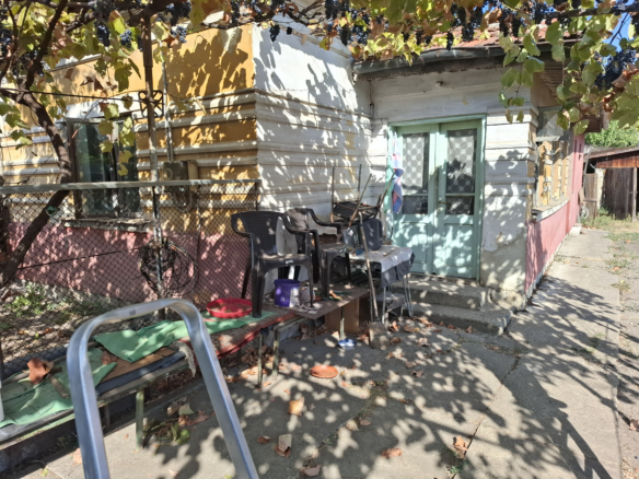
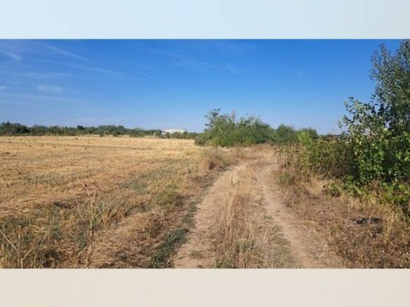
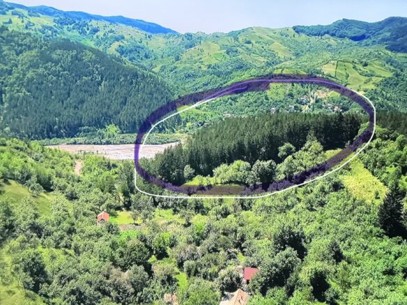
There’s a considerable piece of land available for purchase in Nadăștia, within Almașu Mare, Alba County, Romania. This property spans a total area of 77,742 square meters. It’s registered under Land Registry (CF) number 49 for the UAT Almașu Mare, with a specific topographic number of 441/3. The location is situated between the villages of Cib and Glod, in the Nadăștia area. For those who like to pinpoint locations, the GPS coordinates are 46.07173 N, 23.16982 E.
This is a substantial, unified land parcel. It presents a significant opportunity for development. The land is divided into two main sections. There are 4 hectares designated as intravilan, which means this portion is suitable for construction. The plan suggests that any constructions on this part should be eco-friendly. Alongside this, there are 3.7 hectares of extravilan land. This section is better suited for activities that take place outdoors, such as those related to nature-based tourism or for structures that are not intended to be permanent.
The Setting and Its Advantages
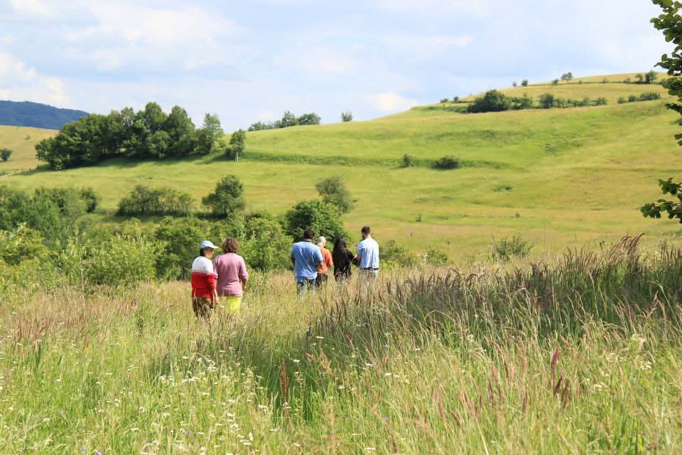
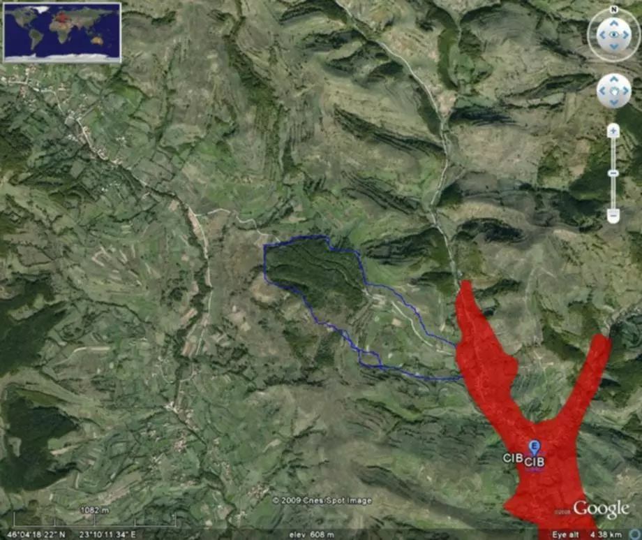
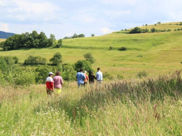
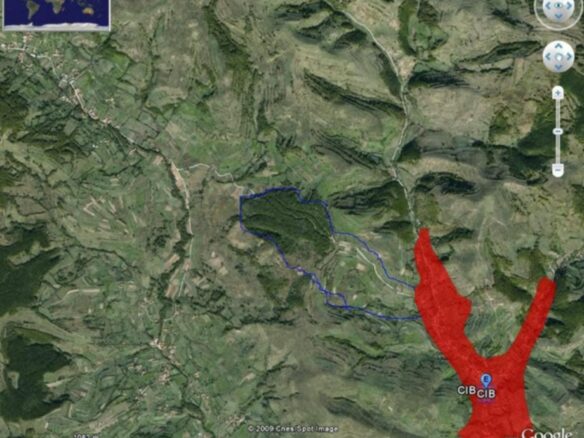
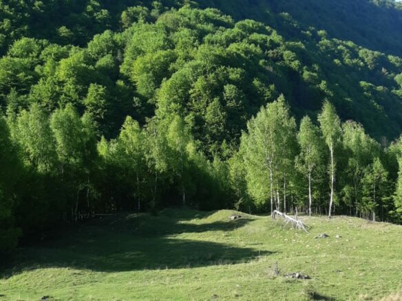
Geographically, the land is positioned at the edge where Cib and Glod meet. The area is characterized by hills that are terraced and slopes covered with forests. If you look at satellite imagery, using the coordinates 46°04’18.22″ N, 23°10’11.34″ E, you can see its exact spot, close to an area marked as “CIB CIB.” The elevation here is approximately 608 meters above sea level. This altitude contributes to extensive views of the surroundings and provides a source of clean mountain air. These conditions are considered ideal for various types of holiday developments, whether for retreats, glamping setups, or eco-tourism ventures.
Technical Survey and Documentation
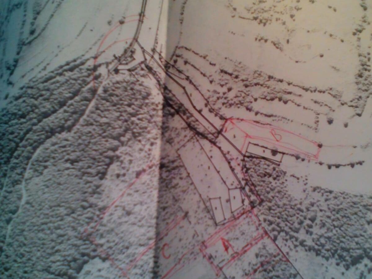
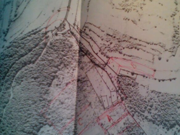
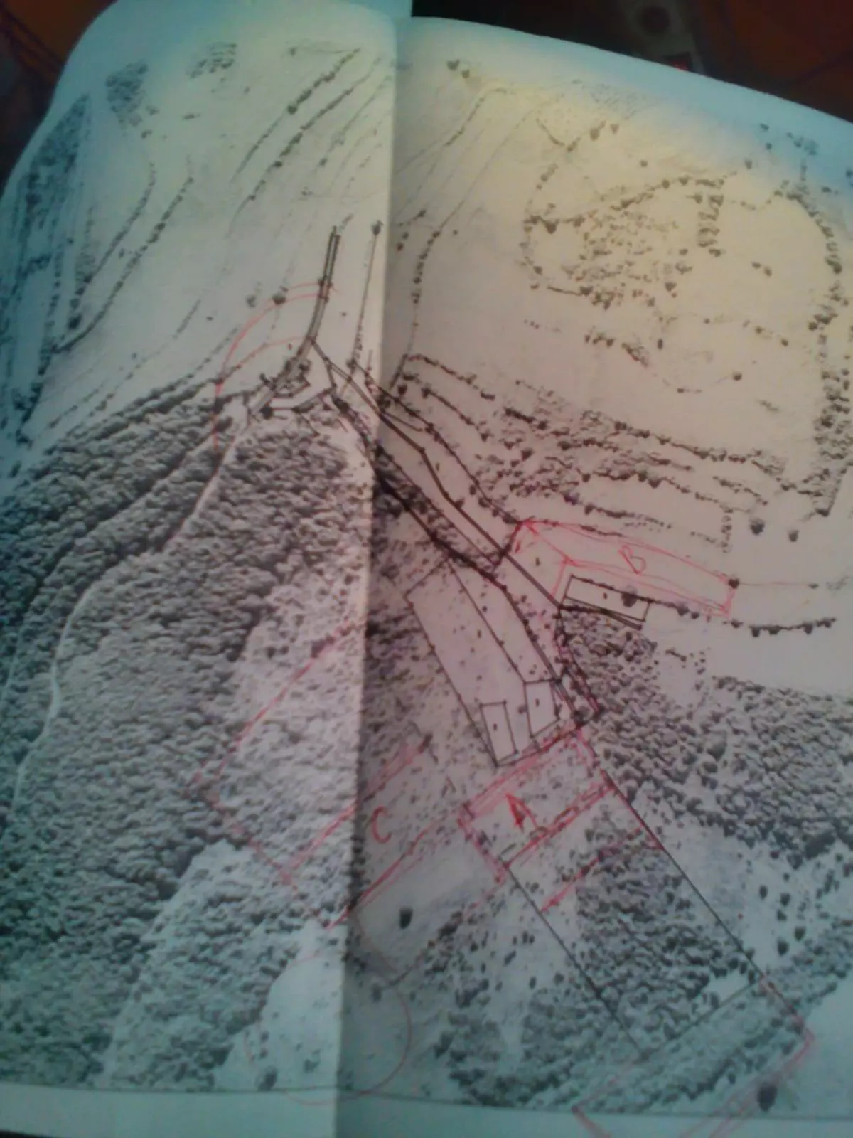
To ensure accuracy, the entire property has been thoroughly mapped and its boundaries precisely defined. This was achieved using 32 distinct topographic points. The system used for this mapping is Stereo 70, also known as UTM. This information is detailed in an official document titled “Plan of placement and delimitation,” which is at a scale of 1:2000. For reference, some of the contour coordinates provided include Point 1 at X: 509165.687, Y: 358588.795; Point 10 at X: 509441.242, Y: 358752.866; and Point 20 at X: 509465.962, Y: 358882.249. The technical documentation itself was prepared by FAN DESIGN SRL, under project number 25/1-10, and is dated August 11, 2009. Having these precise coordinates is beneficial for various purposes, including detailed GIS mapping, plotting on Google Earth, and verification through OCPI systems.
Accessibility and Existing Infrastructure
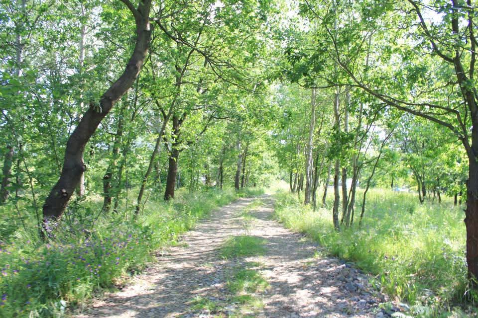
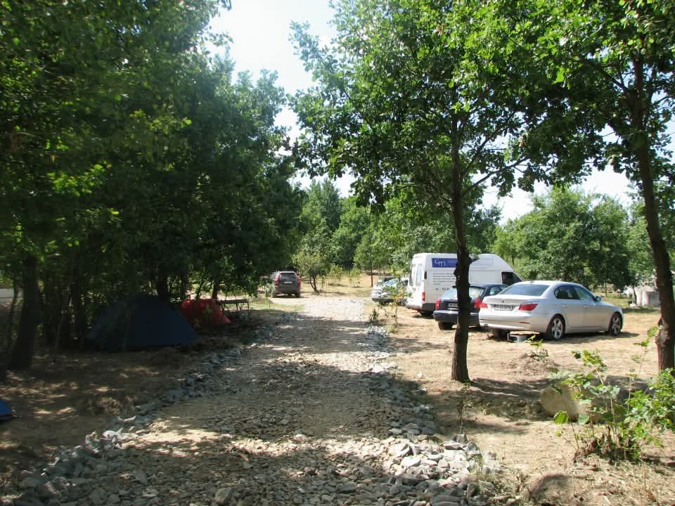
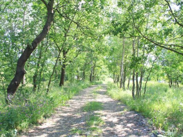
The land offers a significant advantage in terms of access. It has a large opening that connects directly to the national asphalt road, making it easy to reach. Furthermore, there is already an internal gravel road that has been constructed on the property. The ownership is consolidated, meaning it is owned by a single entity, and the land parcel itself is fully consolidated, indicating there are no issues with fragmentation. This unified ownership and lack of fragmentation simplify any future transactions or development plans.
Feasibility Study for Future Development
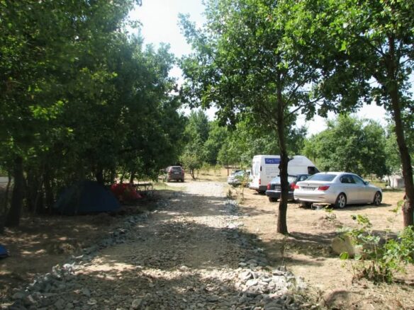
A Feasibility Study (S.F.) has been prepared specifically for a project titled “Holiday Village – Nadăștia, Almașu Mare.” This study outlines a concept for developing the land. The proposed ideas include the subdivision of the land into tourist lots, the creation of an internal road network to serve these lots, and designated areas for various types of accommodation such as cabins and holiday cottages, as well as common facilities. The concept also incorporates zones for glamping and areas dedicated to eco-tourism and retreats. The terrain is varied, offering panoramic views and direct access to the natural surroundings. This combination of features makes the property a suitable candidate for investors interested in the tourism sector, for property developers, or for those looking to establish eco-village projects.
The owner of this land is Luminita Anamaria Comande.